The VitiGEOSS project aims to use European Open Earth Observation services for the improvement of agriculture business operations at an economic, environmental and local level.
Earth-System Modeling
 Earth-System Modeling / Earth-System Modeling - Explore / Explore / PROJECTS / Projects & Initiatives - Earth-System Modeling
APPLICATE brings together an international and multidisciplinary team of experts in weather and climate prediction in order to improve climate and weather forecasting capacity and to provide guidance on the design of the future observing system in the Arctic.
ENES was launched in 2001. Upon the establishment of the network and in the following years, several institutions including university departments, research centres, meteorological services, computer centres, and industrial partners, agreed to work together and cooperate (see Memorandum of Understanding) to discuss strategies to accelerate progress in climate and Earth system modelling and understanding. It is intended to be a portal for the climate modelling...
Read More
The objective of the CMIP is to better understand past, present and future climate changes arising from natural, unforced variability or in response to changes in radiative forcing in a multi-model context. This understanding includes assessments of model performance during the historical period and quantifications of the causes of the spread in future projections. Idealized experiments are also used to increase understanding of the model...
Read More
Climate4Impact is IS-ENES’s portal. It aims to support climate change impact modellers, impact and adaptation consultants, as well anyone else wanting to use climate change data. Climate4Impact offers access to data and visualizations of global climate models (GCM), regional climate models (RCM) and downscaled high resolution climate data. It provides data transformation tooling like indices calculations, downscaling, subsetting and regridding for tailoring data to your...
Read More
CLIPC provides access to climate information of direct relevance to a wide variety of users, from scientists to policy makers and private sector decision makers. Information will include data from satellite and in-situ observations, climate models and re-analyses, transformed data products to enable impacts assessments and climate change impact indicators. The platform will complement existing GMES/Copernicus pre-operational components, but will focus on datasets which provide...
Read More
ESGF is an international collaboration for the software that powers most global climate change research, notably assessments by the Intergovernmental Panel on Climate Change (IPCC). ESGF manages the first-ever decentralized database for handling climate science data, with multiple petabytes of data at dozens of federated sites worldwide. It is recognized as the leading infrastructure for the management and access of large distributed data volumes for...
Read More
Earth system models (ESMS) are key tools to understanding climate change and its effects on society and are at the basis of the International Panel on Climate Change (IPCC) assessment on future climate and EU policy on climate change. An overview of the European Earth System models involved in WCRP CMIP internationally-coordinated experiments, including links to the corresponding model descriptions and contact details, is available...
Read More
 Earth-System Modeling / Earth-System Modeling - Explore / Explore / Projects & Initiatives - Earth-System Modeling
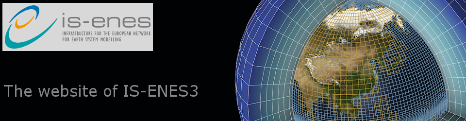
IS-ENES2 is the second phase project of the distributed e-infrastructure of models, model data and metadata of the European Network for Earth System Modelling (ENES). This network gathers together the European modelling community working on understanding and predicting climate variability and change. ENES organizes and supports European contributions to international experiments used in assessments of the Intergovernmental Panel on Climate Change. This activity provides the...
Read More
 Climate Services / Climate Services - Explore / Earth-System Modeling / Earth-System Modeling - Explore / Explore / Projects & Initiatives - Climate Services / Projects & Initiatives - Earth-System Modeling
Earth System Models are mathematical descriptions of the real world at the cutting edge of understanding how our planet works and the links between the main components of the oceans, vegetation, ice and desert, gases in the atmosphere, and the carbon cycle, as well as numerous other components. Earth System Models are a developed based on traditional climate models, extending these typically physical models, to...
Read More