The VitiGEOSS project aims to use European Open Earth Observation services for the improvement of agriculture business operations at an economic, environmental and local level.
Projects & Initiatives – Earth-System Modeling
The World Climate Research Programme coordinates international research efforts devoted to improving forecast capabilities at seasonal to decadal timescales...
 Climate Observations / Climate Observations - Explore / Climate Services / Climate Services - Explore / Earth-System Modeling - Explore / Explore / PROJECTS / Projects & Initiatives - Climate Observations / Projects & Initiatives - Climate Services / Projects & Initiatives - Earth-System Modeling
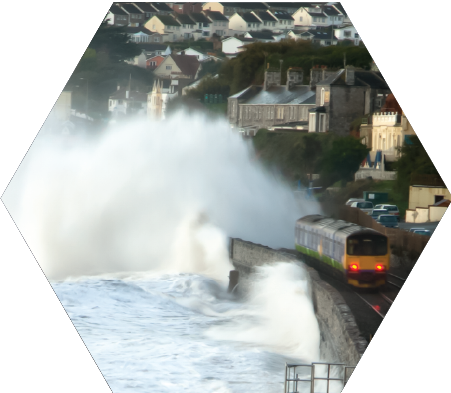
WCRP has implemented the grand challenge on Sea-level rise and coastal impact to meet urgent societal needs for useful information on regional Sea Level rise. Goals are to improve our understanding of regional to local sea level variability; to promote advances in observing systems required for an integrated SL monitoring; and to foster the development of sea-level scenarios and projections for the benefits of coastal...
Read More
 Earth-System Modeling / Earth-System Modeling - Explore / Explore / PROJECTS / Projects & Initiatives - Earth-System Modeling
APPLICATE brings together an international and multidisciplinary team of experts in weather and climate prediction in order to improve climate and weather forecasting capacity and to provide guidance on the design of the future observing system in the Arctic.
 Earth-System Modeling / Earth-System Modeling - Explore / Explore / Projects & Initiatives - Earth-System Modeling
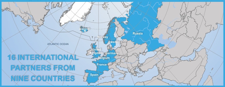
IS-ENES2 is the second phase project of the distributed e-infrastructure of models, model data and metadata of the European Network for Earth System Modelling (ENES). This network gathers together the European modelling community working on understanding and predicting climate variability and change. ENES organizes and supports European contributions to international experiments used in assessments of the Intergovernmental Panel on Climate Change. This activity provides the...
Read More
 Climate Services / Climate Services - Explore / Earth-System Modeling / Earth-System Modeling - Explore / Explore / Projects & Initiatives - Climate Services / Projects & Initiatives - Earth-System Modeling
Earth System Models are mathematical descriptions of the real world at the cutting edge of understanding how our planet works and the links between the main components of the oceans, vegetation, ice and desert, gases in the atmosphere, and the carbon cycle, as well as numerous other components. Earth System Models are a developed based on traditional climate models, extending these typically physical models, to...
Read More
 Climate Services / Climate Services - Explore / Earth-System Modeling / Earth-System Modeling - Explore / Explore / Projects & Initiatives - Climate Services / Projects & Initiatives - Earth-System Modeling
PRIMAVERA (PRocess-based climate sIMulation: AdVances in high-resolution modelling and European climate Risk Assessments) is a Horizon2020 project funded by the European Commission. It began in November 2015 and runs until July 2020. The project is a collaboration between 19 European partners, led by the UK Met Office and Reading University. Its aim is to develop a new generation of advanced and well-evaluated high-resolution global climate...
Read More
 Earth-System Modeling / Earth-System Modeling - Explore / Explore / Projects & Initiatives - Earth-System Modeling
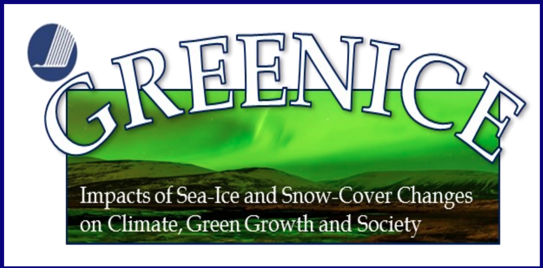
Combining analysis of observed climate data with global and regional climate models GREENICE focuses on the atmosphere’s response to changes in ocean heat, sea ice and snow cover. It will enhance the ability to predict both anthropogenic and naturally-driven change on 10-30 year timescales. GREENICE will undertake case studies in selected northern communities to increase understanding of the present and historical adaptation of these communities...
Read More
 Earth-System Modeling / Earth-System Modeling - Explore / Explore / Projects & Initiatives - Earth-System Modeling
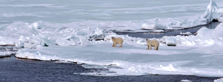
The Arctic is of fundamental importance in the climate system because of the important atmospheric and oceanic feedbacks that occur here. Added to this, global warming has caused intense changes in Arctic climate, with a rise in temperatures during recent years that is close to twice that of other regions. These rapid changes are a challenge to communities already at risk from many other aspects...
Read More
 Earth-System Modeling / Earth-System Modeling - Explore / Explore / Projects & Initiatives - Earth-System Modeling
Global climate models (ESMs or GCMs) can provide climate information on scales of around 1000 by 1000 km (with grid resolution of 100’s of km) covering what could be a vastly differing landscape (from very mountainous to flat coastal plains for example) with greatly varying potential for floods, droughts or other extreme events. Regional Climate Models (RCM) and Empirical Statistical Downscaling (ESD), applied over a...
Read More